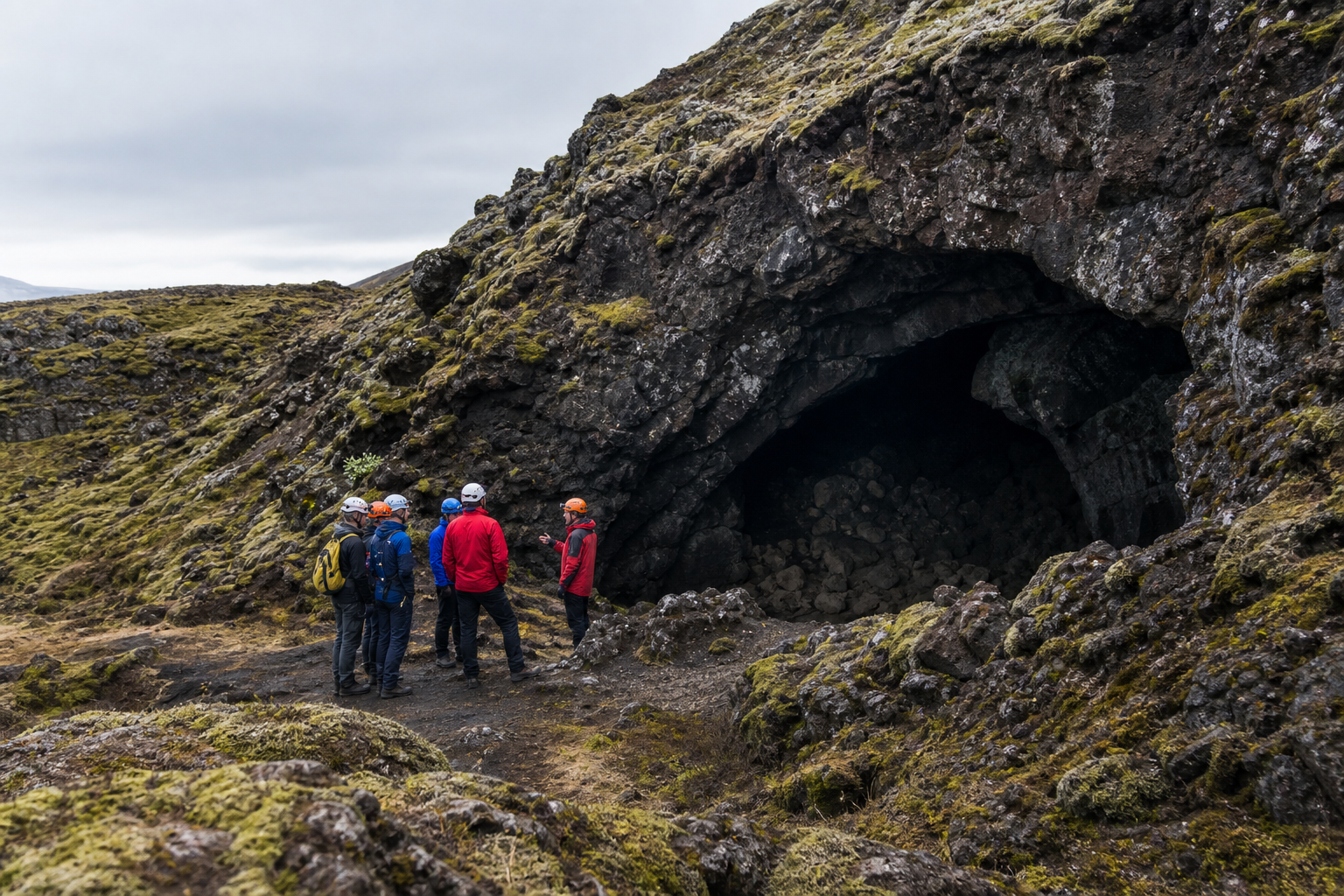
Cave records are safety-sensitive
DULIN shows cave-related records as planning context, not as encouragement to enter. Iceland caves can involve unstable rock, ice collapse, darkness, flooding, bad air, tides, surf and poor communication.
If you want to enter a cave, use a qualified local guide or operator and verify current conditions, access rules, equipment and closures. If anything is unclear, stay outside and choose another stop.
 Hut
Hut
Hveravellir is a historical hut or remains in Húnabyggð, Northwest Iceland. road access is classified as foot only. it lies in or near protected area da...
- Region
- Northwest Iceland
- Road
- Foot Only
- Season
- Unknown
 Hut
Hut
Landmannalaugar is a emergency shelter refuge. It is located in Rangárþing ytra, South Iceland. Operator or managing organisation: Ferðafélag Íslands. A...
- Region
- South Iceland
- Road
- Likely Foot Access
- Season
- Unknown
 Hut
Hut
Landmannalaugar (Laugakofi) is a historical hut remains. It is located in Rangárþing ytra, South Iceland. Operator or managing organisation: Ferðafélag ...
- Region
- South Iceland
- Road
- Likely Foot Access
- Season
- Unknown
 Hut
Hut
Álftavatn - FÍ is a mountain hut lodge. It is located in Rangárþing ytra, South Iceland. Operator or managing organisation: Ferðafélag Íslands. Access i...
- Region
- South Iceland
- Road
- Four Wheel Drive
- Season
- Unknown
 Hut
Hut
Botni í Suðurárbotnum - Ferðafélag Akureyrar is a mountain hut or lodge in Þingeyjarsveit, Northeast Iceland. road access is classified as four wheel dr...
- Region
- Northeast Iceland
- Road
- Four Wheel Drive
- Season
- Unknown
 Hut
Hut
Dyngjufell í Dyngjufjalladal - Ferðafélag Akureyrar is a mountain hut or lodge in Þingeyjarsveit, Northeast Iceland. road access is classified as four w...
- Region
- Northeast Iceland
- Road
- Four Wheel Drive
- Season
- Unknown
 Hut
Hut
Heilagsdalur - Ferðafélag Húsavíkur is a mountain hut or lodge in Þingeyjarsveit, Northeast Iceland. road access is classified as four wheel drive.
- Region
- Northeast Iceland
- Road
- Four Wheel Drive
- Season
- Unknown
 Hut
Hut
Hlöðuvellir - FÍ is a mountain hut lodge. It is located in Bláskógabyggð, South Iceland. Operator or managing organisation: Ferðafélag Íslands. Access i...
- Region
- South Iceland
- Road
- Four Wheel Drive
- Season
- Unknown
 Hut
Hut
Laugafell - Ferðafélag Akureyrar is a mountain hut or lodge in Eyjafjarðarsveit, Northeast Iceland. road access is classified as four wheel drive.
- Region
- Northeast Iceland
- Road
- Four Wheel Drive
- Season
- Unknown
 Hut
Hut
Sigurðarskáli í Kverkfjöllum - Ferðafélag Fljótsdalshéraðs is a mountain hut or lodge in Múlaþing, East Iceland. road access is classified as four wheel...
- Region
- East Iceland
- Road
- Four Wheel Drive
- Season
- Unknown
 Hut
Hut
Lambi - Ferðafélag Akureyrar is a mountain hut or lodge in Akureyrarbær, Northeast Iceland. road access is classified as foot only. it lies in or near p...
- Region
- Northeast Iceland
- Road
- Foot Only
- Season
- Unknown
 Hut
Hut
Dreki í Dyngjufjöllum - Ferðafélag Akureyrar is a mountain hut or lodge in Þingeyjarsveit, Northeast Iceland. road access is classified as four wheel dr...
- Region
- Northeast Iceland
- Road
- Four Wheel Drive
- Season
- Unknown
 Hut
Hut
Emstrur - FÍ is a mountain hut lodge. It is located in Rangárþing eystra, South Iceland. Operator or managing organisation: Ferðafélag Íslands. Access i...
- Region
- South Iceland
- Road
- Four Wheel Drive
- Season
- Unknown
 Hut
Hut
Baldvinsskáli on Fimmvörðuháls is an A-frame mountain refuge for hikers on one of Iceland’s most popular hiking routes. The hut has a small dining room ...
- Region
- South Iceland
- Road
- Foot Only
- Season
- Summer Season
 Hut
Hut
Hagavatn - FÍ is a mountain hut lodge. It is located in Bláskógabyggð, South Iceland. Operator or managing organisation: Ferðafélag Íslands. Access is c...
- Region
- South Iceland
- Road
- Four Wheel Drive
- Season
- Unknown
 Hut
Hut
Hof á Flateyjardal - Ferðafélag Húsavíkur is a mountain hut or lodge in Þingeyjarsveit, Northeast Iceland. road access is classified as four wheel drive.
- Region
- Northeast Iceland
- Road
- Four Wheel Drive
- Season
- Unknown
 Hut
Hut
Hvanngil - FÍ is a mountain hut lodge. It is located in Rangárþing ytra, South Iceland. Operator or managing organisation: Ferðafélag Íslands. Access is...
- Region
- South Iceland
- Road
- Four Wheel Drive
- Season
- Unknown
 Hut
Hut
Hvítárnes is a mountain hut lodge. It is located in Bláskógabyggð, South Iceland. Operator or managing organisation: Ferðafélag Íslands. Access is class...
- Region
- South Iceland
- Road
- Four Wheel Drive
- Season
- Unknown
 Hut
Hut
Landmannalaugar - FÍ is a mountain hut lodge. It is located in Rangárþing ytra, South Iceland. Operator or managing organisation: Ferðafélag Íslands. Ac...
- Region
- South Iceland
- Road
- Four Wheel Drive
- Season
- Unknown
 Hut
Hut
Nýidalur - FÍ is a mountain hut lodge. It is located in Ásahreppur, South Iceland. Operator or managing organisation: Ferðafélag Íslands. Access is clas...
- Region
- South Iceland
- Road
- Four Wheel Drive
- Season
- Unknown
 Hut
Hut
Þorsteinsskáli í Herðubreiðarlindum - Ferðafélag Akureyrar is a mountain hut or lodge in Þingeyjarsveit, Northeast Iceland. road access is classified as...
- Region
- Northeast Iceland
- Road
- Four Wheel Drive
- Season
- Unknown
 Hut
Hut
Fimmvörðuskáli is a mountain hut or lodge in Rangárþing eystra, South Iceland. road access is classified as foot only.
- Region
- South Iceland
- Road
- Foot Only
- Season
- Unknown
 Hut
Hut
Bræðrafell í Ódáðahrauni - Ferðafélag Akureyrar is a mountain hut or lodge in Þingeyjarsveit, Northeast Iceland. road access is classified as foot only....
- Region
- Northeast Iceland
- Road
- Foot Only
- Season
- Unknown
 Hut
Hut
Hrafntinnusker - FÍ is a mountain hut lodge. It is located in Rangárþing ytra, South Iceland. Operator or managing organisation: Ferðafélag Íslands. Acc...
- Region
- South Iceland
- Road
- Foot Only
- Season
- Unknown