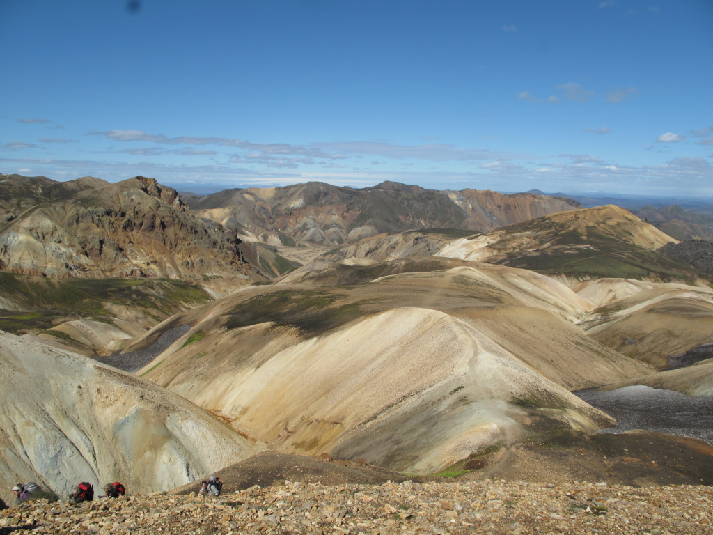
What to check before choosing a hiking route in Iceland
Distance is only the first filter. A short hike can still be exposed, remote, reached by a rough road, affected by snow patches, or placed behind a river crossing. DULIN hike pages therefore combine length and elevation with technical difficulty, access notes, recommended season, winter risk and nearby conditions where data exists.
Use the hike list to shortlist realistic options. Then open the map and look at what surrounds the hike: nearest roads, nearby huts, waterfalls, campsites, hot pots, public cameras, weather stations and possible F-road context. That helps you decide whether the hike fits the day instead of only looking good in isolation.
Easy
Red walking route on Hrísey.
- Region
- Northeast Iceland
- Distance
- 4.7 km
- Elevation
- 100 m
Easy
Green walking route on Hrísey.
- Region
- Northeast Iceland
- Distance
- 2.2 km
- Elevation
- 40 m
 Easy
Easy
Hiking route near Kerhólakambur 31.12.2010.
- Region
- Reykjavik
- Distance
- 0.1 km
- Elevation
- 0 m
 Moderate
Longer Kerlingarfjöll to Hveradalir hike.
- Region
- South Iceland
- Distance
- 11.5 km
- Elevation
- 540 m
 Moderate
Hiking route near Bakkagerði.
- Region
- East Iceland
- Distance
- 11.2 km
- Elevation
- 440 m
 Moderate
Hiking route near Bólstaðahlíðarrétt.
- Region
- Northwest Iceland
- Distance
- 9.9 km
- Elevation
- 340 m
 Moderate
Hiking route near Borgarvirki hringur.
- Region
- Northwest Iceland
- Distance
- 8.1 km
- Elevation
- 140 m
 Moderate
Hiking route near Heydalur, Mjóifjörður. From hotel to Ausuvatn lake and back.
- Region
- Westfjords
- Distance
- 7.7 km
- Elevation
- 430 m
Moderate
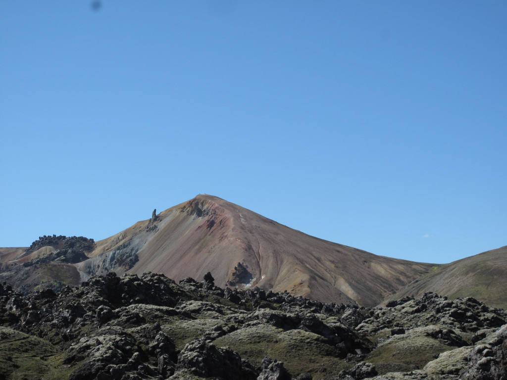
Kerlingarfjöll mountain route to Skeljafell and Kerling.
- Region
- South Iceland
- Distance
- 7 km
- Elevation
- 400 m
 Moderate
Hiking route near Kirkjufell.
- Region
- West Iceland
- Distance
- 7 km
- Elevation
- 30 m
 Moderate
Moderate mountain hike to Uppsalahnjúkur.
- Region
- Northeast Iceland
- Distance
- 4.9 km
- Elevation
- 760 m
Moderate
Short Ásgarðsfjall mountain walk.
- Region
- South Iceland
- Distance
- 4.9 km
- Elevation
- 100 m
 Moderate
Hiking route near Islandia: Stuðlagil Canyon- Stuðlafoss.
- Region
- East Iceland
- Distance
- 4.7 km
- Elevation
- 50 m
 Moderate
Hiking route near Káraborg.
- Region
- Northwest Iceland
- Distance
- 3.4 km
- Elevation
- 300 m
 Moderate
Hiking route near Husavikurfjall from Husavik.
- Region
- Northeast Iceland
- Distance
- 2.5 km
- Elevation
- 0 m
 Moderate
Hiking route near Valadalur.
- Region
- Northwest Iceland
- Distance
- 2.5 km
- Elevation
- 10 m
 Moderate
Hiking route near Varmahlíð Reykjarhóll.
- Region
- Northwest Iceland
- Distance
- 2.1 km
- Elevation
- 50 m
 Moderate
Short hot spring access hike in Kerlingarfjöll.
- Region
- South Iceland
- Distance
- 1.9 km
- Elevation
- 30 m
 Hard
Hard
285.5 km hiking route candidate near Lækjarvellir.
- Region
- Reykjanes
- Distance
- 68.5 km
- Elevation
- 1060 m
 Hard
Hard
Hiking route near Almannavegur yfir Ódáðahraun.
- Region
- Northeast Iceland
- Distance
- 62.9 km
- Elevation
- 220 m
 Hard
Hard
Hiking route near Ingólfsfjörður-Reykjafjörður.
- Region
- Westfjords
- Distance
- 58 km
- Elevation
- 1175 m
 Hard
Hard
Hiking route near Bláskógavegur trail: Húsavík to Ásbyrgi.
- Region
- Northeast Iceland
- Distance
- 50.3 km
- Elevation
- 470 m
 Hard
Hard
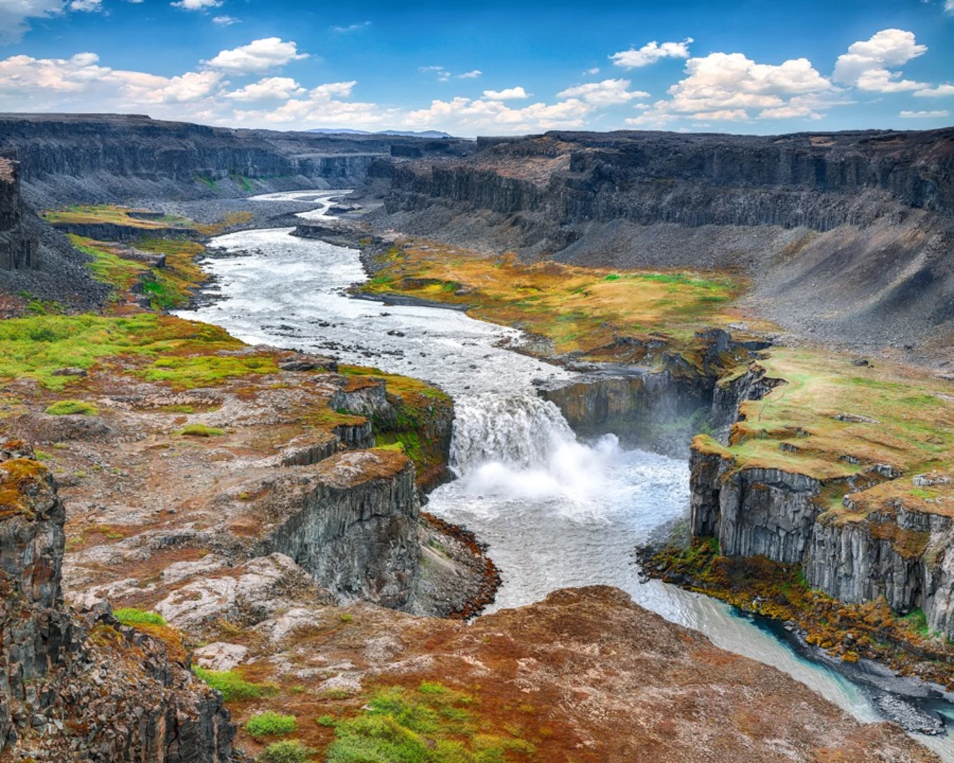
Long canyon trek linking Dettifoss and Ásbyrgi.
- Region
- North Iceland
- Distance
- 32.2 km
- Elevation
- 230 m
 Hard
Hard
Hiking route near JUN-19-10 Vesturgata.
- Region
- Westfjords
- Distance
- 27.4 km
- Elevation
- 485 m
 Hard
Hard
Hiking route near Meyjará to Reykjafjörður via Hrolleifsborg.
- Region
- Westfjords
- Distance
- 24.6 km
- Elevation
- 870 m
 Hard
Hard
Hiking route near Siglunes.
- Region
- Northeast Iceland
- Distance
- 22.7 km
- Elevation
- 710 m
 Hard
Hard
Hiking route near Helgafjörður.
- Region
- Reykjanes
- Distance
- 20.7 km
- Elevation
- 180 m
Hard
Ásgarður and Mænir mountain loop.
- Region
- South Iceland
- Distance
- 17.6 km
- Elevation
- 710 m
 Hard
Hard
Hiking route near Reykjaheiði.
- Region
- Northeast Iceland
- Distance
- 14.8 km
- Elevation
- 820 m
 Hard
Hard
Scenic hiking route around Hofsós.
- Region
- Northwest Iceland
- Distance
- 13.1 km
- Elevation
- 220 m
 Hard
Hard
Mountain hike to Snækollur.
- Region
- South Iceland
- Distance
- 3.2 km
- Elevation
- 505 m
 Very Hard
Remote 5-day Askja highland trek across lava fields and hut locations.
- Region
- Northeast Iceland
- Distance
- 84.8 km
- Elevation
- 1015 m
 Very Hard
Remote multi-day trek from Snæfell into Lónsöræfi.
- Region
- East Iceland
- Distance
- 70.7 km
- Elevation
- 1610 m
 Very Hard
Remote Eastfjords trek through Brúnavík, Húsavík and Loðmundarfjörður.
- Region
- East Iceland
- Distance
- 59.6 km
- Elevation
- 2040 m
 River Crossing
54.0 km hiking route candidate near Emstrur - FÍ.
- Region
- South Iceland
- Distance
- 55.5 km
- Elevation
- 1560 m
 River Crossing
236.5 km hiking route candidate near Landmannahellir (Gil).
- Region
- South Iceland
- Distance
- 53.9 km
- Elevation
- 1335 m
 River Crossing
38.6 km hiking route candidate near Eyvindarhver.
- Region
- Northwest Iceland
- Distance
- 49.2 km
- Elevation
- 625 m
 Very Hard
Long Kerlingarfjöll circuit.
- Region
- South Iceland
- Distance
- 47.2 km
- Elevation
- 1450 m
 River Crossing
127.0 km hiking route candidate near Gil.
- Region
- Northeast Iceland
- Distance
- 36.3 km
- Elevation
- 1330 m
 River Crossing
56.5 km hiking route candidate near Magnúsarfoss.
- Region
- East Iceland
- Distance
- 30 km
- Elevation
- 2075 m
 River Crossing
80.6 km hiking route candidate near Baldvinsskáli (Fákki).
- Region
- South Iceland
- Distance
- 23.1 km
- Elevation
- 1105 m
 Scramble
Hiking route near Heiðaskarð and Hestskarð from Korpudal HI Hostel.
- Region
- Westfjords
- Distance
- 21.7 km
- Elevation
- 810 m
 Scramble
Hesteyri to Látrar in Aðalvík via Hesteyrarskarð
- Region
- Westfjords
- Distance
- 20.4 km
- Elevation
- 730 m
 None
None
73.2 km hiking route candidate near Herjólfsdalur, Vestmannaeyjar.
- Region
- South Iceland
- Distance
- 19.3 km
- Elevation
- 320 m
 River Crossing
14.6 km hiking route candidate near Bræðrabúð.
- Region
- East Iceland
- Distance
- 18.4 km
- Elevation
- 825 m
 River Crossing
68.3 km hiking route candidate near Miðfellshellir.
- Region
- South Iceland
- Distance
- 18.3 km
- Elevation
- 1340 m
 Scramble
Hiking route near Hálfdánartungur - Grjótá yfir Trippaskál.
- Region
- Northeast Iceland
- Distance
- 17.2 km
- Elevation
- 880 m
 Scramble
Hiking route near Hólar-Víðinesdalur-Elliði-Fjall.
- Region
- Northwest Iceland
- Distance
- 17.1 km
- Elevation
- 800 m
River Crossing
64.0 km hiking route candidate near Brúnavík.
- Region
- East Iceland
- Distance
- 17 km
- Elevation
- 815 m
River Crossing
32.2 km hiking route candidate near Hot spring.
- Region
- South Iceland
- Distance
- 16.7 km
- Elevation
- 1010 m
 River Crossing
61.7 km hiking route candidate near Hólaskjól (Hótel Ófæra).
- Region
- Highlands
- Distance
- 16.7 km
- Elevation
- 300 m
 River Crossing
54.7 km hiking route candidate near Þakgil.
- Region
- South Iceland
- Distance
- 16.1 km
- Elevation
- 240 m
 Scramble
Hiking route near Ingjaldssandur : Saebol - Round of Mt. Barði.
- Region
- Westfjords
- Distance
- 15.9 km
- Elevation
- 620 m
 River Crossing
53.2 km hiking route candidate near Magnúsarfoss.
- Region
- East Iceland
- Distance
- 15.5 km
- Elevation
- 690 m
 Scramble
Hiking route near Kvíkabekkjardalur - Ólafsfjarðarskarð - Ólafsfjarðardalur Fljótum.
- Region
- Northeast Iceland
- Distance
- 15.4 km
- Elevation
- 665 m
 Scramble
Hiking route near Vestrahorn, Iceland.
- Region
- East Iceland
- Distance
- 15.2 km
- Elevation
- 415 m
 River Crossing
Hesteyri to Hlöðuvík via Kjaransvíkurskarð
- Region
- Westfjords
- Distance
- 15 km
- Elevation
- 500 m
 River Crossing
54.5 km hiking route candidate near Magnúsarfoss.
- Region
- East Iceland
- Distance
- 15 km
- Elevation
- 190 m
 River Crossing
59.2 km hiking route candidate near Folaldafoss.
- Region
- West Iceland
- Distance
- 14.8 km
- Elevation
- 370 m
 River Crossing
66.7 km hiking route candidate near Hvanngil (Nýi skálinn).
- Region
- South Iceland
- Distance
- 14.8 km
- Elevation
- 175 m
 Minor
Minor
53.8 km hiking route candidate near Dreki í Dyngjufjöllum - Ferðafélag Akureyrar.
- Region
- Northeast Iceland
- Distance
- 14.2 km
- Elevation
- 765 m
 River Crossing
30.6 km hiking route candidate near Waterfall.
- Region
- South Iceland
- Distance
- 13.9 km
- Elevation
- 330 m
 River Crossing
51.2 km hiking route candidate near Waterfall.
- Region
- South Iceland
- Distance
- 13.9 km
- Elevation
- 725 m
 River Crossing
Hesteyri to Sæból in Aðalvík via Sléttuheiði
- Region
- Westfjords
- Distance
- 13.7 km
- Elevation
- 300 m
 Scramble
Hiking route near Hörgshóll - Hvammstangi.
- Region
- Northwest Iceland
- Distance
- 13.5 km
- Elevation
- 570 m
 Scramble
Hiking route near Brúarárfoss - Mount Hvarf (alt. 238m.).
- Region
- South Iceland
- Distance
- 13 km
- Elevation
- 200 m
 Scramble
Hiking route near Hafnarfjall - 9 tindar - 021010.
- Region
- West Iceland
- Distance
- 12.6 km
- Elevation
- 1190 m
 River Crossing
48.6 km hiking route candidate near Landmannalaugar.
- Region
- South Iceland
- Distance
- 12.4 km
- Elevation
- 645 m
 River Crossing
51.5 km hiking route candidate near Nýidalur - FÍ.
- Region
- South Iceland
- Distance
- 12.3 km
- Elevation
- 480 m
 Scramble
Hiking route near Moskardshnjukar and trollafoss.
- Region
- Reykjavik
- Distance
- 12.2 km
- Elevation
- 890 m
 Scramble
Hiking route near Korpudalur - Kroppstaðarskál - Þverdalur.
- Region
- Westfjords
- Distance
- 11.8 km
- Elevation
- 750 m
 Scramble
Hiking route near Grímannsfell-Helgufoss little loop.
- Region
- Reykjavik
- Distance
- 11.4 km
- Elevation
- 415 m
 River Crossing
41.7 km hiking route candidate near Landmannalaugar.
- Region
- South Iceland
- Distance
- 10.8 km
- Elevation
- 570 m
River Crossing
19.1 km hiking route candidate near Systragil.
- Region
- Northeast Iceland
- Distance
- 10.6 km
- Elevation
- 810 m
 Scramble
Hiking route near Hólsfjall Tröllatindar: 07 NOV 2009 09:47.
- Region
- West Iceland
- Distance
- 10.6 km
- Elevation
- 950 m
 River Crossing
Hlöðuvík to Hornvík via Atlaskarð
- Region
- Westfjords
- Distance
- 10.5 km
- Elevation
- 445 m
 River Crossing
40.8 km hiking route candidate near Horse riding.
- Region
- Northeast Iceland
- Distance
- 10.5 km
- Elevation
- 360 m
 Scramble
Veiðileysufjörður to Hornvík via Hafnarskarð
- Region
- Westfjords
- Distance
- 10.4 km
- Elevation
- 500 m
River Crossing
38.3 km hiking route candidate near Hólmárfossar.
- Region
- Northeast Iceland
- Distance
- 10.1 km
- Elevation
- 170 m
 Scramble
Hiking route near Snaefellsjökull.
- Region
- West Iceland
- Distance
- 9.9 km
- Elevation
- 780 m
Iceland hiking routes FAQ
Where can I find an Iceland hiking routes map?
DULIN provides an Iceland hiking routes map with route lines, distance, elevation gain, region and nearby outdoor places.
Can I plan hikes together with huts and waterfalls?
Yes. DULIN is built around map context, so hikes can be viewed with nearby huts, waterfalls, hot pots, campsites and access notes.
Does DULIN replace official safety information?
No. DULIN is a planning layer. Always verify weather, road status, river crossings, local restrictions and safety warnings before visiting.