Plan Iceland by region first
Iceland trip planning works better when you begin with the part of the country you will actually be in. A waterfall, hut, hot pot or hiking route only becomes useful when the surrounding roads, weather, driving time and backup options make sense.
These region pages group DULIN places and hikes into more practical planning areas. Use them as entry points before opening the interactive map for filters, nearby conditions, GPX tools and Premium details.
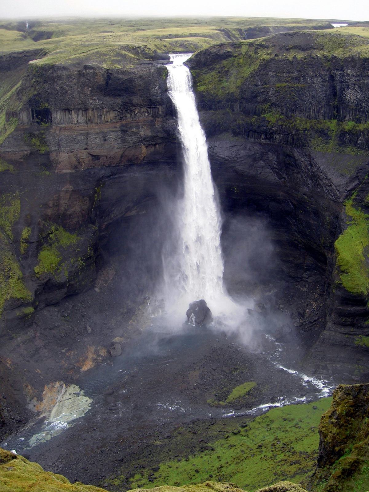 1 places / 0 hikes
Capital Region has outdoor places and routes that are easier to use when viewed with road, season, access and nearby context.
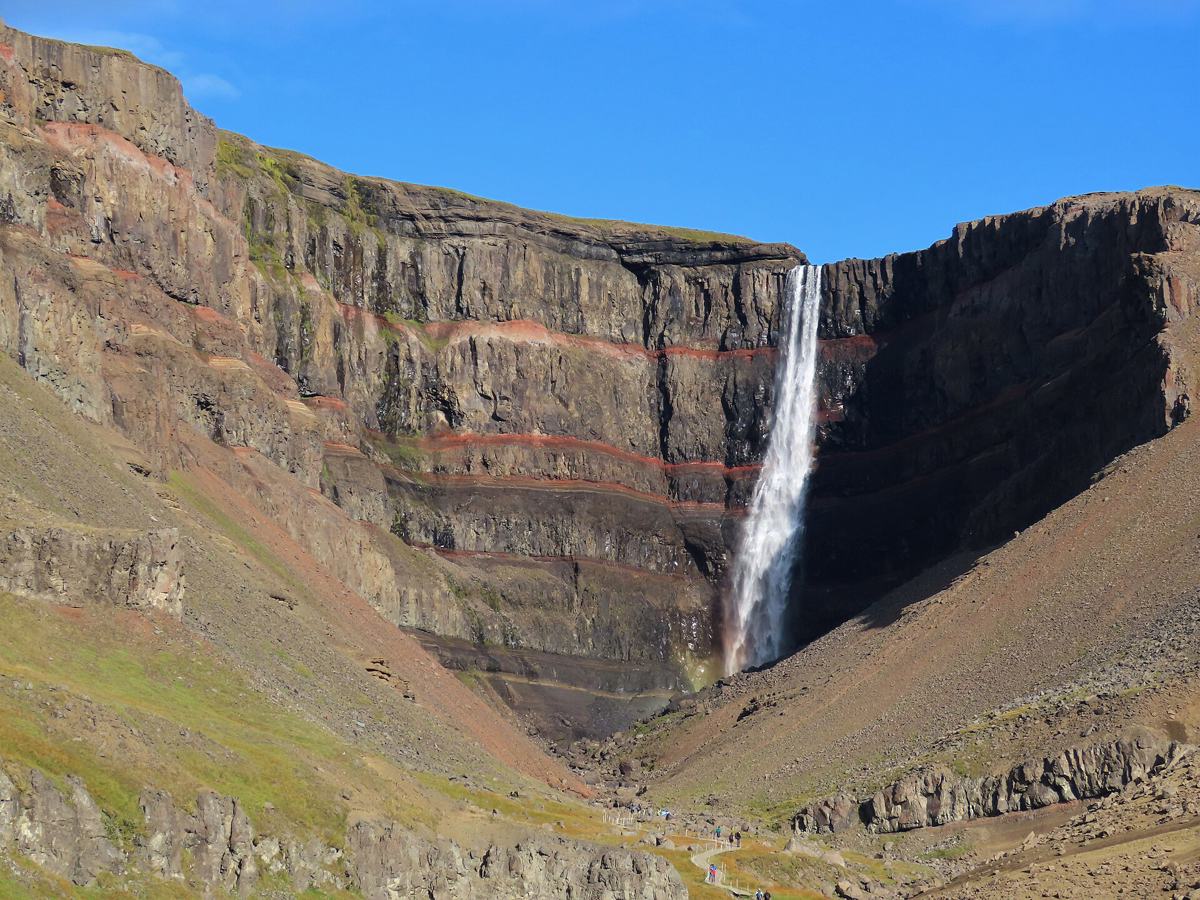 207 places / 0 hikes
East Iceland rewards slower travel: fjords, waterfalls, quiet valleys and hiking routes where road access and weather can change the day.
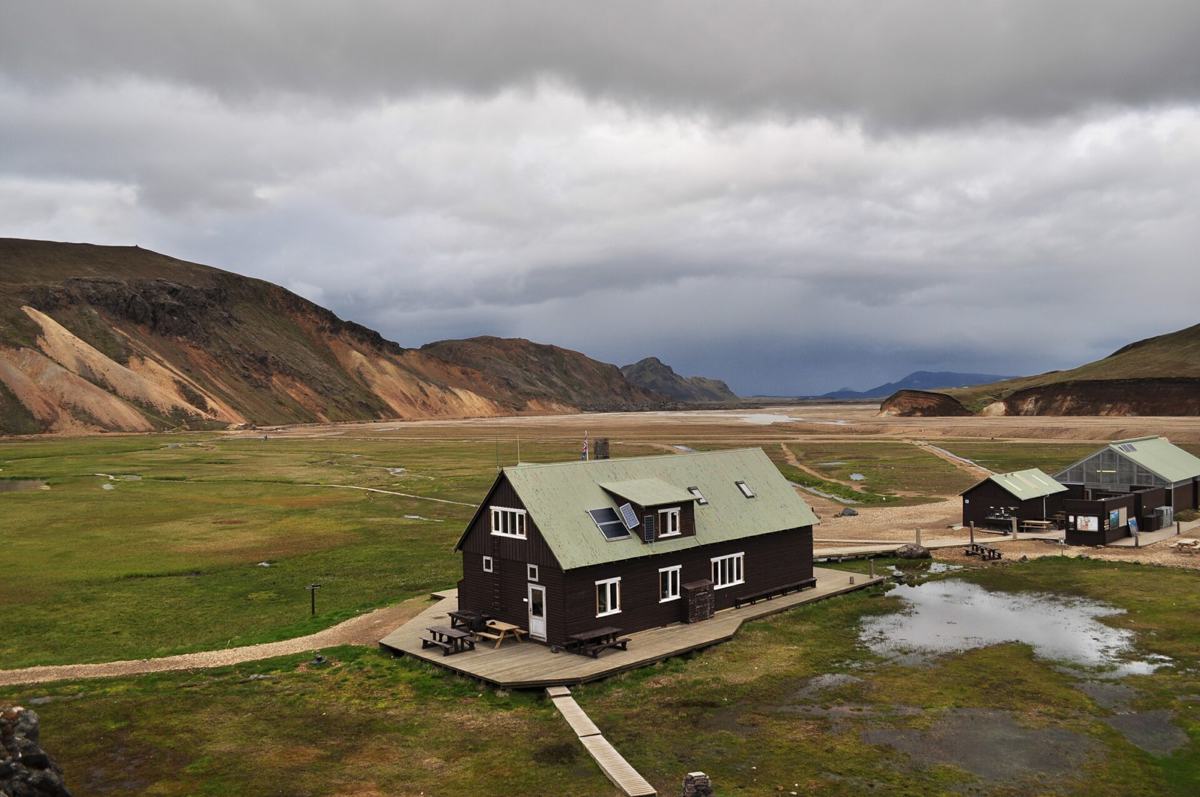 0 places / 1 hikes
The Highlands need conservative planning around F-roads, season openings, river crossings, wind and vehicle limits.
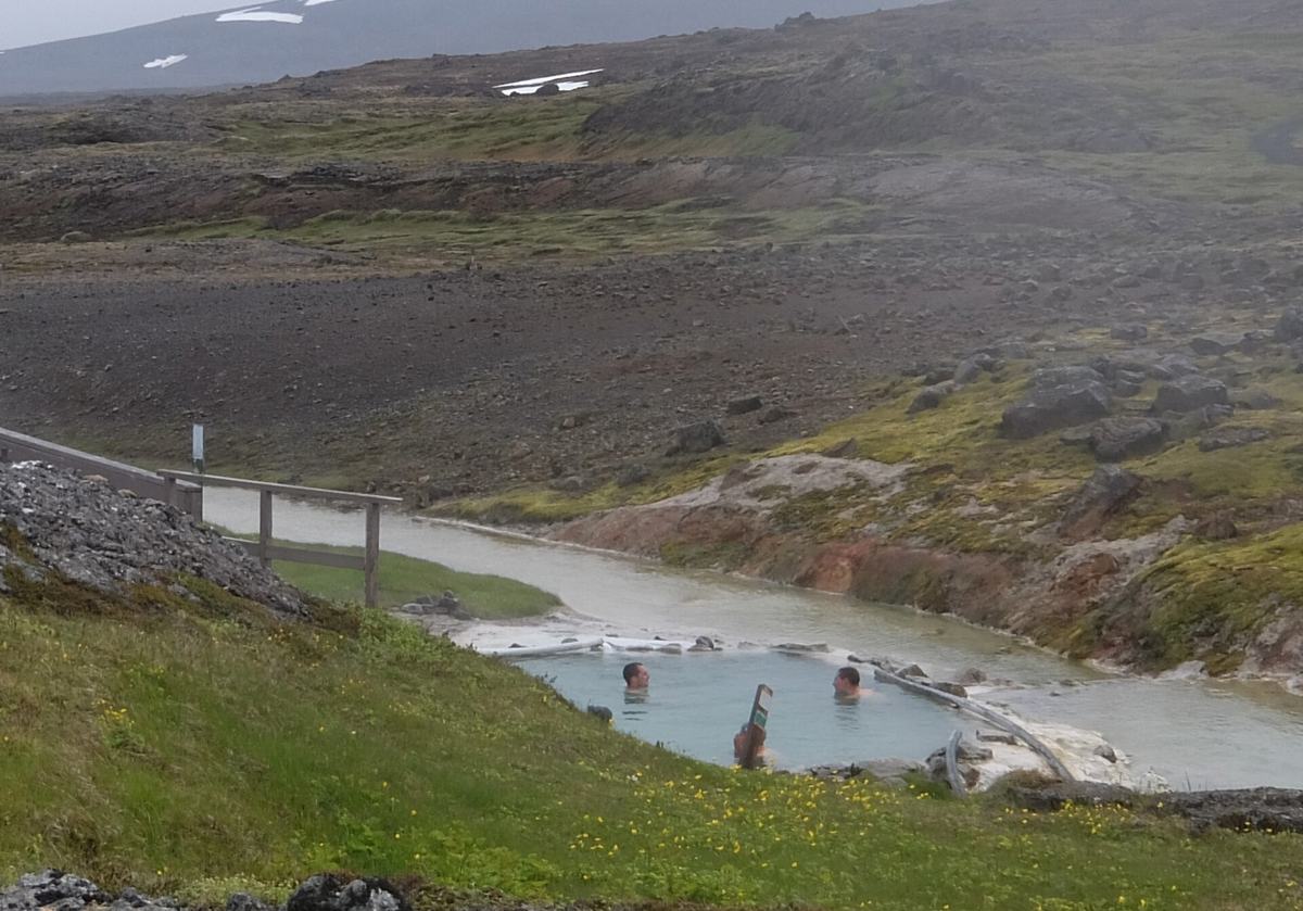 6 places / 0 hikes
North Iceland combines geothermal areas, waterfalls, coastal roads and inland route options where weather and road surfaces deserve attention.
180 places / 3 hikes
East Iceland rewards slower travel: fjords, waterfalls, quiet valleys and hiking routes where road access and weather can change the day.
86 places / 0 hikes
North Iceland combines geothermal areas, waterfalls, coastal roads and inland route options where weather and road surfaces deserve attention.
88 places / 0 hikes
Reykjanes has outdoor places and routes that are easier to use when viewed with road, season, access and nearby context.
103 places / 0 hikes
Reykjavik has outdoor places and routes that are easier to use when viewed with road, season, access and nearby context.
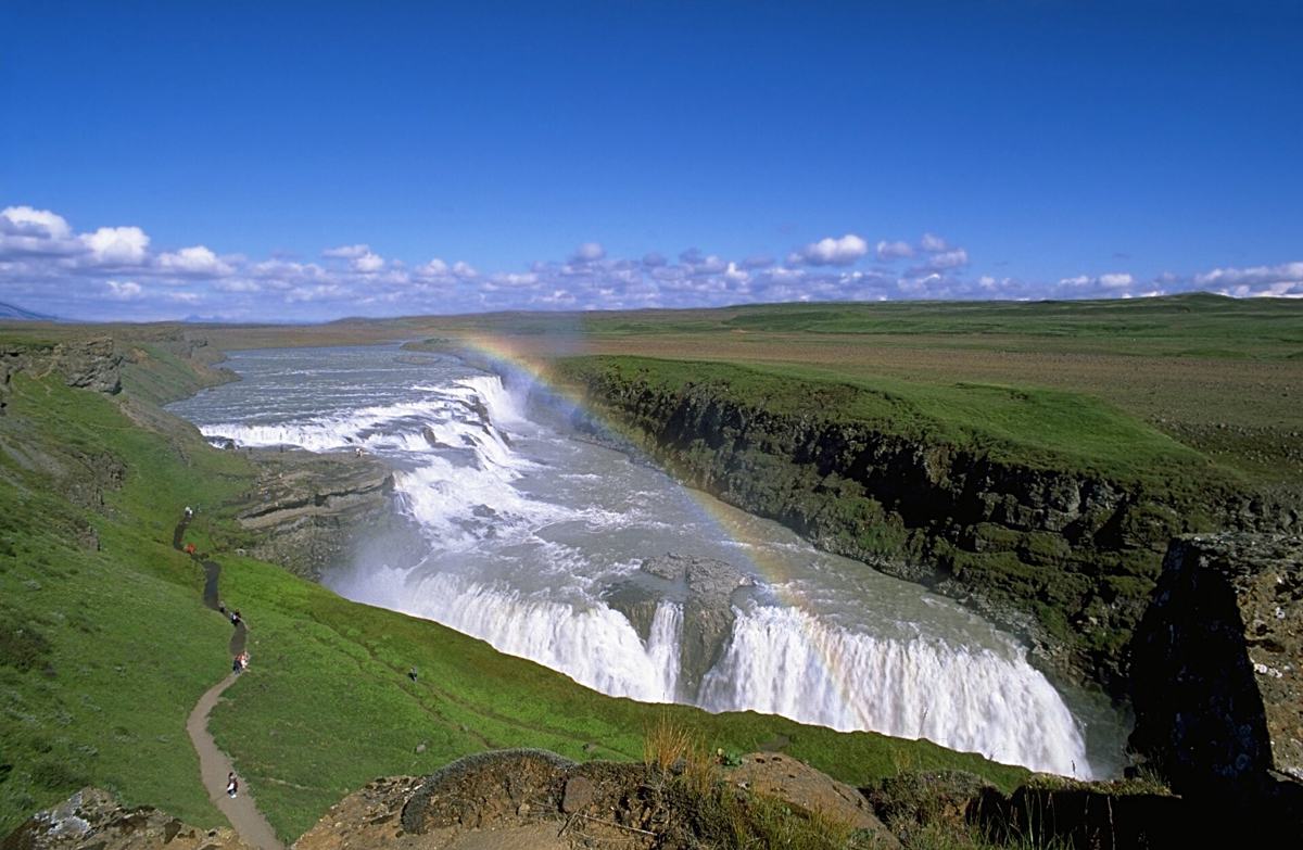 268 places / 2 hikes
South Iceland is rich in waterfalls, road-trip stops and glacier-edge scenery, but timing and crowd management matter more than a long pin list.
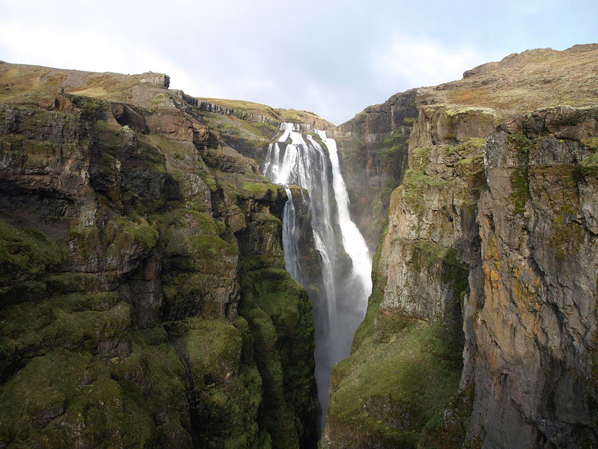 238 places / 0 hikes
West Iceland works well for compact road-trip days with waterfalls, coastal stops, hiking routes and alternatives close together.
1 places / 0 hikes
West Iceland works well for compact road-trip days with waterfalls, coastal stops, hiking routes and alternatives close together.
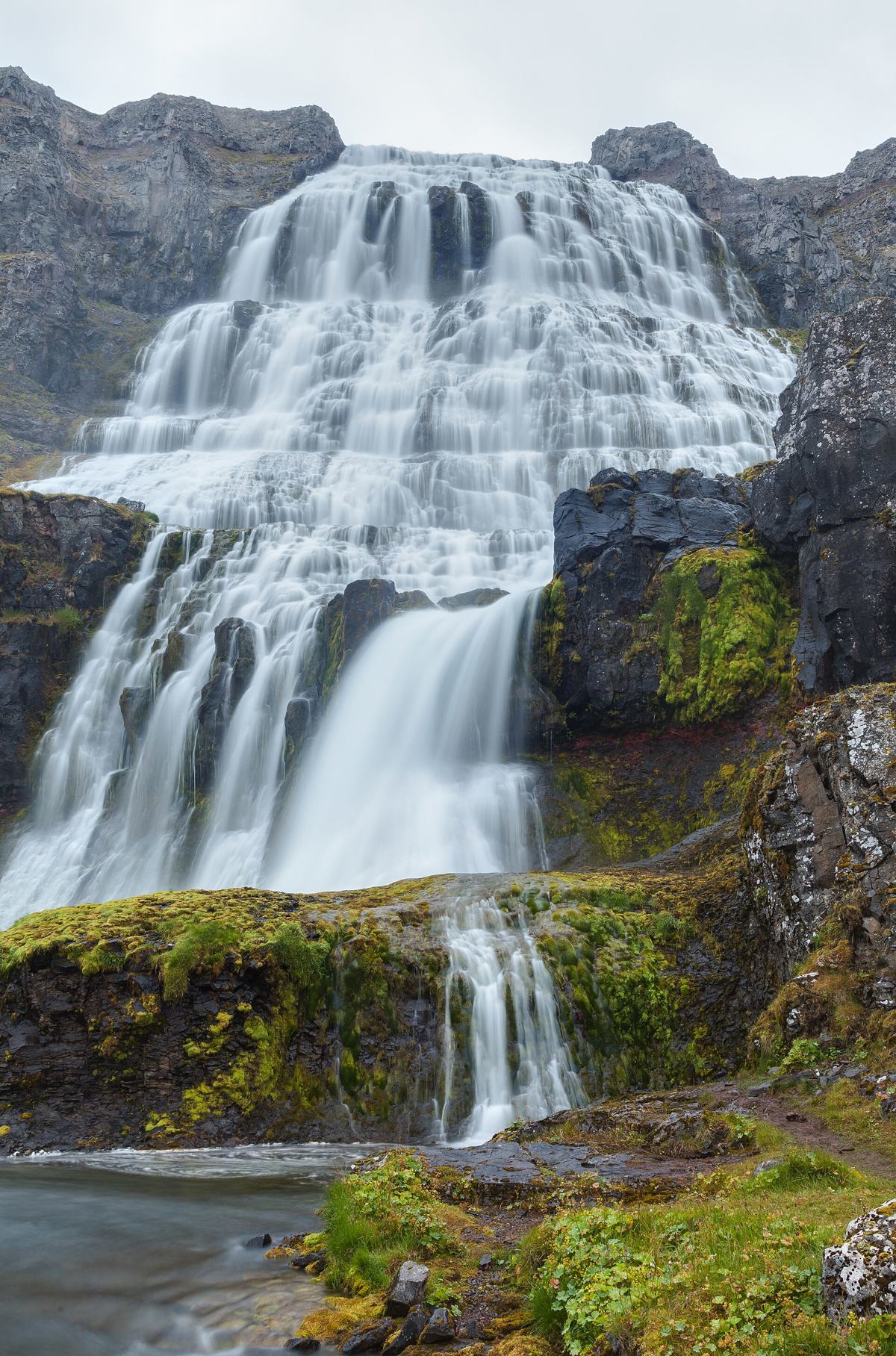 166 places / 5 hikes
The Westfjords are slower, remote and highly rewarding when you plan around long drives, fjords, gravel roads and backup stops.