Plan North Iceland by nearby context
North Iceland combines geothermal areas, waterfalls, coastal roads and inland route options where weather and road surfaces deserve attention.
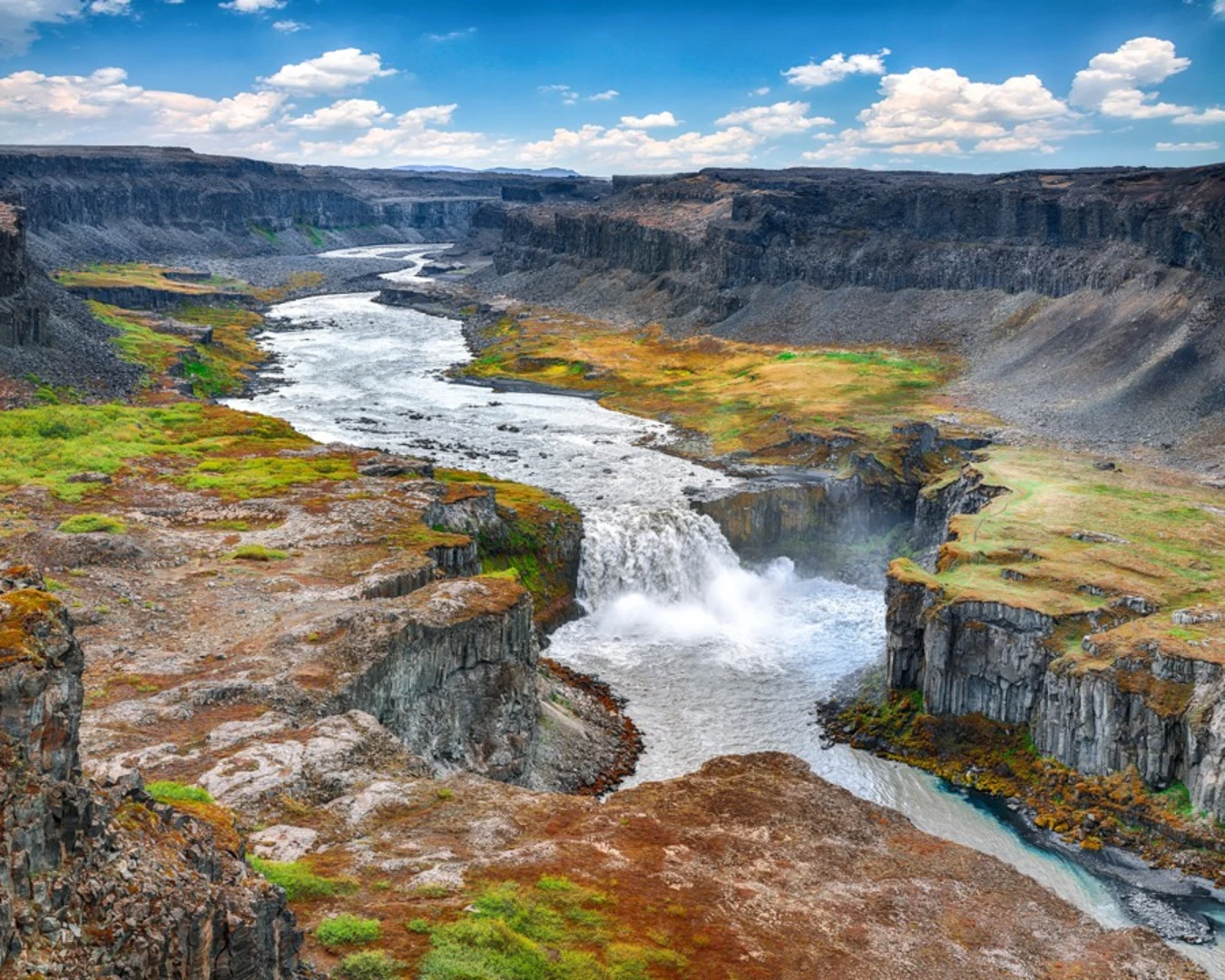
North Iceland mixes geothermal areas, waterfall landscapes, coastlines and inland routes. The region can be excellent for slower exploration because different kinds of places sit close enough to form flexible day plans.
Check road access and season signals carefully, especially when moving away from main roads. Nearby weather and camera context can be more useful than a generic forecast when deciding whether to continue or choose an easier stop.