Plan Reykjanes by nearby context
Reykjanes has outdoor places and routes that are easier to use when viewed with road, season, access and nearby context.
Reykjanes is easier to plan when places and routes are viewed together. A hut, waterfall, hot pot or route can be useful only if the surrounding roads, season and weather fit the day.
Use DULIN to compare nearby options, then open the map for filters, route context, navigation links and Premium planning tools.
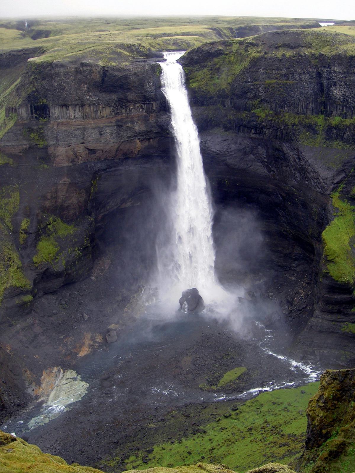
 Waterfall
Litli-Foss is a waterfall in Kópavogsbær, Reykjanes. road access is classified as car.
- Region
- Reykjanes
- Road
- Car
- Season
- Year Round
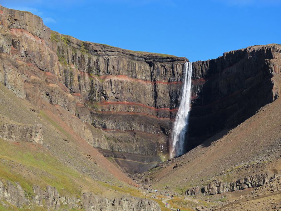
Waterfall
Waterfall is a waterfall in Grindavíkurbær, Reykjanes. road access is classified as car.
- Region
- Reykjanes
- Road
- Car
- Season
- Year Round
 Hard
Hard
285.5 km hiking route candidate near Lækjarvellir.
- Region
- Reykjanes
- Distance
- 68.5 km
- Elevation
- 1060 m
 Hard
Hard
Hiking route near Helgafjörður.
- Region
- Reykjanes
- Distance
- 20.7 km
- Elevation
- 180 m
None
25.3 km hiking route candidate near Sundlaugin í Vogum.
- Region
- Reykjanes
- Distance
- 7.9 km
- Elevation
- 30 m
 Minor
Minor
22.9 km hiking route candidate near Hot spring.
- Region
- Reykjanes
- Distance
- 5.8 km
- Elevation
- 295 m
 Minor
Minor
18.4 km hiking route candidate near Golf.
- Region
- Reykjanes
- Distance
- 4.5 km
- Elevation
- 260 m
 Scramble
Hiking route near Keilir.
- Region
- Reykjanes
- Distance
- 3.6 km
- Elevation
- 0 m
Minor
14.2 km hiking route candidate near Golf.
- Region
- Reykjanes
- Distance
- 3.6 km
- Elevation
- 210 m
Minor
14.4 km hiking route candidate near Golf.
- Region
- Reykjanes
- Distance
- 3.5 km
- Elevation
- 190 m
None
7.0 km hiking route candidate near Hot spring.
- Region
- Reykjanes
- Distance
- 1.4 km
- Elevation
- 50 m
Minor
0.9 km hiking route candidate near Disc golf.
- Region
- Reykjanes
- Distance
- 0.4 km
- Elevation
- 40 m