Plan Reykjavik by nearby context
Reykjavik has outdoor places and routes that are easier to use when viewed with road, season, access and nearby context.
Reykjavik is easier to plan when places and routes are viewed together. A hut, waterfall, hot pot or route can be useful only if the surrounding roads, season and weather fit the day.
Use DULIN to compare nearby options, then open the map for filters, route context, navigation links and Premium planning tools.
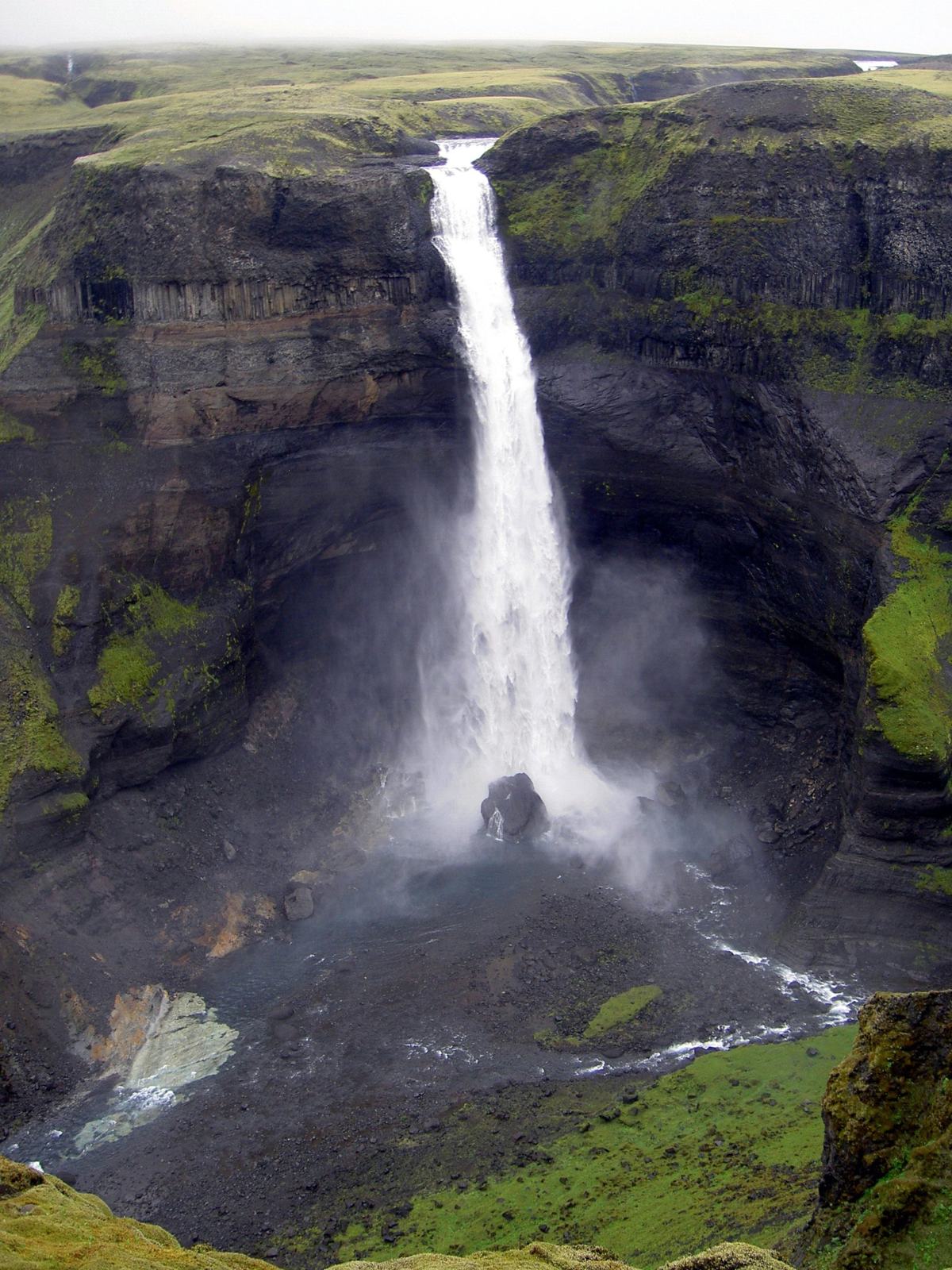
 Waterfall
Álafoss is a waterfall in Mosfellsbær, Reykjavik. road access is classified as car. it lies in or near protected area data: Álafoss.
- Region
- Reykjavik
- Road
- Car
- Season
- Year Round
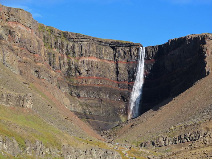
 Waterfall
Helgufoss is a waterfall in Mosfellsbær, Reykjavik. road access is classified as foot only. it lies in or near protected area data: Bringur.
- Region
- Reykjavik
- Road
- Foot Only
- Season
- Year Round
 Waterfall
Pokafoss is a rapid or cascade in Kjósarhreppur, Reykjavik. road access is classified as likely foot access.
- Region
- Reykjavik
- Road
- Likely Foot Access
- Season
- Year Round
 Waterfall
Skorhagafoss is a waterfall in Kjósarhreppur, Reykjavik. road access is classified as likely foot access.
- Region
- Reykjavik
- Road
- Likely Foot Access
- Season
- Year Round
 Waterfall
Þórufoss is a waterfall in Kjósarhreppur, Reykjavik. road access is classified as likely foot access.
- Region
- Reykjavik
- Road
- Likely Foot Access
- Season
- Year Round
 Waterfall
Tröllafoss is a waterfall in Reykjavíkurborg, Reykjavik. road access is classified as foot only.
- Region
- Reykjavik
- Road
- Foot Only
- Season
- Year Round
 Waterfall
Sjávarfoss is a waterfall in Kjósarhreppur, Reykjavik. road access is classified as car.
- Region
- Reykjavik
- Road
- Car
- Season
- Year Round
Waterfall
Laxfoss is a waterfall in Kjósarhreppur, Reykjavik. road access is classified as likely foot access.
- Region
- Reykjavik
- Road
- Likely Foot Access
- Season
- Year Round
Waterfall
Breiðholtsfoss is a waterfall in Reykjavíkurborg, Reykjavik. road access is classified as car.
- Region
- Reykjavik
- Road
- Car
- Season
- Year Round
Waterfall
Brynjudalsfoss is a waterfall in Kjósarhreppur, Reykjavik. road access is classified as car.
- Region
- Reykjavik
- Road
- Car
- Season
- Year Round
Waterfall
Búrfoss is a waterfall in Reykjavíkurborg, Reykjavik. road access is classified as car.
- Region
- Reykjavik
- Road
- Car
- Season
- Year Round
Waterfall
Fosslágarfoss is a waterfall in Kjósarhreppur, Reykjavik. road access is classified as car.
- Region
- Reykjavik
- Road
- Car
- Season
- Year Round
 Easy
Easy
Hiking route near Kerhólakambur 31.12.2010.
- Region
- Reykjavik
- Distance
- 0.1 km
- Elevation
- 0 m
 Scramble
Hiking route near Moskardshnjukar and trollafoss.
- Region
- Reykjavik
- Distance
- 12.2 km
- Elevation
- 890 m
 Scramble
Hiking route near Grímannsfell-Helgufoss little loop.
- Region
- Reykjavik
- Distance
- 11.4 km
- Elevation
- 415 m
None
40.1 km hiking route candidate near Swimming pool.
- Region
- Reykjavik
- Distance
- 9.3 km
- Elevation
- 60 m
 Scramble
Hiking route near Æsustaðafjall, Reykjafell og Helgafell.
- Region
- Reykjavik
- Distance
- 8.7 km
- Elevation
- 315 m
None
37.8 km hiking route candidate near Outdoor fitness station.
- Region
- Reykjavik
- Distance
- 8.2 km
- Elevation
- 20 m
None
7.5 km hiking route candidate near Horse riding.
- Region
- Reykjavik
- Distance
- 7.8 km
- Elevation
- 30 m
None
28.0 km hiking route candidate near Reykjavík.
- Region
- Reykjavik
- Distance
- 6.4 km
- Elevation
- 30 m
River Crossing
24.6 km hiking route candidate near Króarfoss.
- Region
- Reykjavik
- Distance
- 6.2 km
- Elevation
- 40 m
 River Crossing
20.6 km hiking route candidate near Kollafjarðarárfoss.
- Region
- Reykjavik
- Distance
- 5.6 km
- Elevation
- 1075 m
None
25.1 km hiking route candidate near Flekkudalsfossar.
- Region
- Reykjavik
- Distance
- 5 km
- Elevation
- 170 m
 Scramble
Hiking route near Hátindur 09.01.2011.
- Region
- Reykjavik
- Distance
- 4.6 km
- Elevation
- 0 m