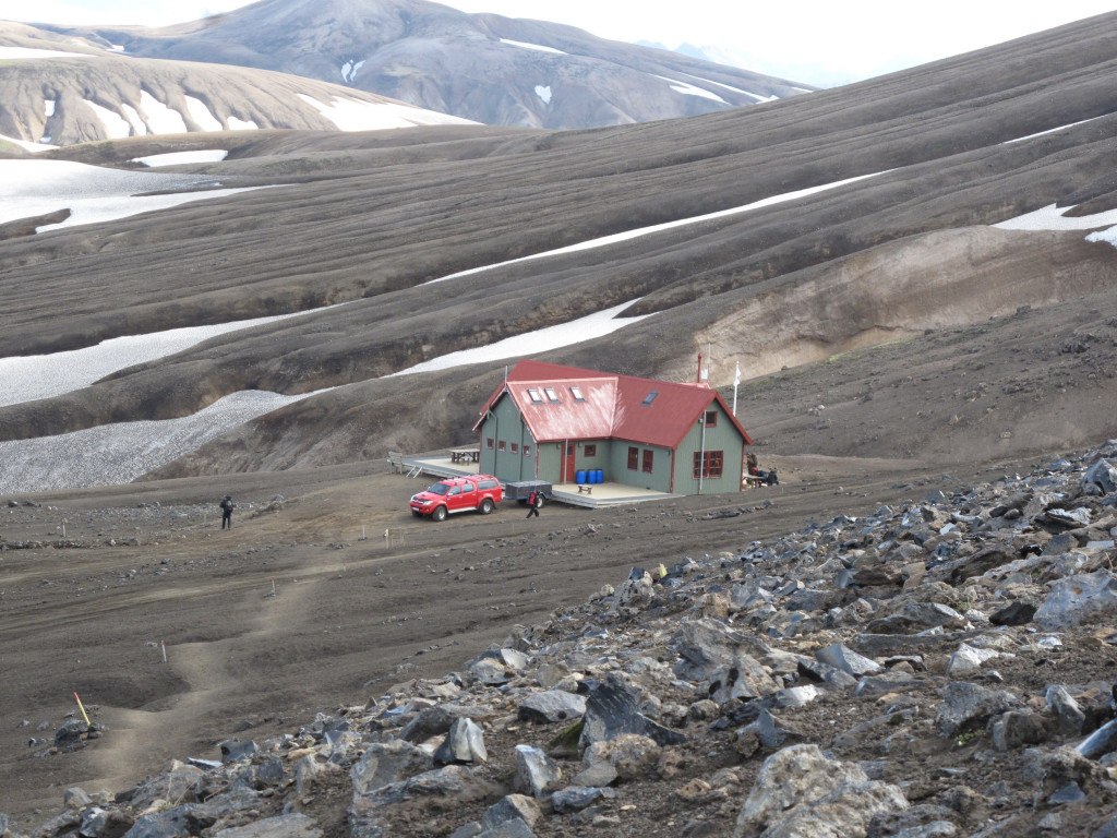
Route facts
3.3 km hiking route candidate near Básar á Goðalandi (Þórsmörk).
- Region
- South Iceland
- Distance
- 1 km
- Estimated time
- 0 h 30 min
- Elevation gain
- 145 m
- Difficulty
- Scramble
- Season
- Summer
Search name variants
People may search for this Iceland hiking route with or without Icelandic characters, with an English place type, or together with a region. DULIN keeps those variants close to the main record so the page is easier to understand and match in search.
- Basar
- Básar hiking route
- Basar hiking route
- Básar Iceland hike
- Basar Iceland hike
- Básar South Iceland
Planning warnings
Mapped OSM ford near the route; river crossing may depend on exact line and conditions. Winter or shoulder-season travel may be unsafe without current local information.