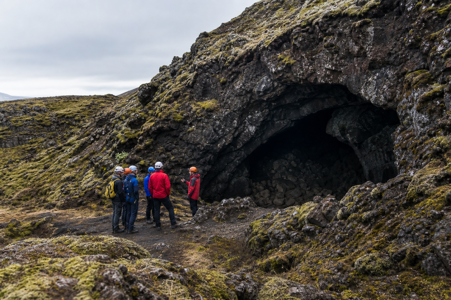
Iceland has lava caves, ice caves, sea caves and smaller cave-like features, but a cave marker should never be treated like an ordinary sightseeing pin. Caves can be life-threatening. Rockfall, unstable ceilings, hidden holes, ice collapse, flooding, bad air, darkness, getting lost, surf, tides and sudden weather can all turn a simple-looking place into a serious incident.
Use DULIN cave records as a conservative planning signal, not as permission to enter. If you want to go inside a cave, especially an ice cave, lava tube, sea cave or remote cave system, go with a qualified local guide or operator who knows the current conditions, equipment requirements and access rules. If access, safety or permission is unclear, stay outside and choose another stop.
Use the map to ask better questions
DULIN is most useful when you treat each record as part of a wider landscape. A place or route becomes more meaningful when you know the region, road access, season, nearby alternatives, weather context and whether the data is recently verified.
- Start from the region and travel day you are planning.
- Compare nearby places and routes instead of isolated pins.
- Check access, season and safety notes before committing.
- Verify current conditions with official Icelandic sources.
A cave map is not an entry instruction
Use cave records as a warning and research layer. Caves in Iceland can be life-threatening, and entry should normally be planned only through a qualified guide or operator who can verify current conditions, equipment, permission and closures.
Open the map when you need to compare nearby places, hikes, road access, weather context and saved trip items.