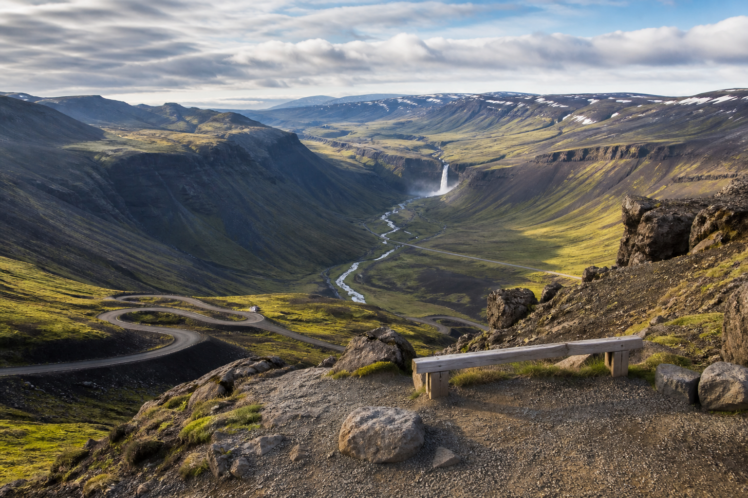
Viewpoints are some of the most useful stops in Iceland because they can turn a long drive into a better travel day. A good viewpoint is not only a beautiful view; it is a place that fits the road, parking, weather, wind, visibility and the route you are already taking.
DULIN treats viewpoints as planning stops. Use the map to compare scenic overlooks with nearby waterfalls, hikes, campsites, hot pots, F-road context and weather signals. The best viewpoint is often the one that gives you a safe, realistic stop without forcing a risky detour or a rushed schedule.
Use the map to ask better questions
DULIN is most useful when you treat each record as part of a wider landscape. A place or route becomes more meaningful when you know the region, road access, season, nearby alternatives, weather context and whether the data is recently verified.
- Start from the region and travel day you are planning.
- Compare nearby places and routes instead of isolated pins.
- Check access, season and safety notes before committing.
- Verify current conditions with official Icelandic sources.
Use viewpoints to improve the route, not overload it
A viewpoint is most useful when it fits naturally into the day. Compare it with nearby waterfalls, hikes, campsites, road access and weather before adding a detour, and skip exposed stops when wind, fog, ice or parking conditions make the view less important than safety.
Open the map when you need to compare nearby places, hikes, road access, weather context and saved trip items.