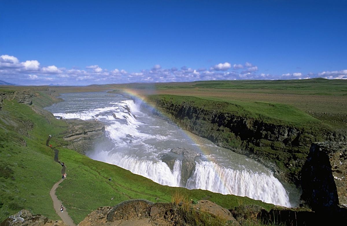
Plan South Iceland by nearby context
South Iceland is rich in waterfalls, road-trip stops and glacier-edge scenery, but timing and crowd management matter more than a long pin list.
South Iceland has many famous stops, but that popularity makes planning quality more important. A good day balances one or two major anchors with nearby alternatives, early or late timing and enough flexibility for wind, rain or road delays.
DULIN can help you look beyond the obvious stops by showing lesser-known waterfalls, huts, hot pots and routes nearby. This is especially useful when you want to avoid building a day from crowded names alone.
Golden Circle and South Coast are different travel corridors
Compare a Skogar-centred walking day with a Golden Circle day before booking the overnight. Highland places assigned to South Iceland in the database still need their own access plan; they are not routine coastal detours.
Detailed planning comparison | Other regions
Regional groups follow the source records and can overlap travel areas. Counts describe available public records, not complete visitor coverage. Check road conditions and current travel notices before departure.
What the DULIN data currently covers in South Iceland
The public regional index currently contains 181 places and 3 hikes. The strongest place groups are Waterfall (87), Sport (21), Campsite (15), Hut (15), Culture (13). Counts describe database coverage, not quality rankings or guaranteed access.
Place starting points: Hvítárnes, Nýidalur, Þórsmörk/Langidalur, Baldvinsskáli (Fákki).
Hike starting points: Brennisteinsalda, Útigönguhöfði Trail, Þakgilshöfuð.
Use these names to build a compact shortlist, then remove any option whose current road, weather, season or safety context does not fit the day.
 Hut
Hut
Hvítárnes is a mountain hut lodge. It is located in Bláskógabyggð, South Iceland. Operator or managing organisation: Ferðafélag Íslands. Access is class...
- Region
- South Iceland
- Road
- Four Wheel Drive
- Season
- Unknown
 Hut
Hut
Nýidalur - FÍ is a mountain hut lodge. It is located in Ásahreppur, South Iceland. Operator or managing organisation: Ferðafélag Íslands. Access is clas...
- Region
- South Iceland
- Road
- Four Wheel Drive
- Season
- Unknown
 Hut
Hut
Þórsmörk/Langidalur - FÍ is a mountain hut lodge. It is located in Rangárþing eystra, South Iceland. Operator or managing organisation: Ferðafélag Íslan...
- Region
- South Iceland
- Road
- Likely Foot Access
- Season
- Unknown
 Hut
Hut
Baldvinsskáli (Fákki) is a mountain hut lodge. It is located in Rangárþing eystra, South Iceland. Operator or managing organisation: Ferðafélag Íslands....
- Region
- South Iceland
- Road
- Four Wheel Drive
- Season
- Unknown
Hut
Fremra-Hald is a historical hut or remains in Rangárþing ytra, South Iceland. road access is classified as four wheel drive.
- Region
- South Iceland
- Road
- Four Wheel Drive
- Season
- Unknown
Hut
Hallarmúlaskáli (Skillandsfitjar) is a mountain hut or lodge in Skeiða- og Gnúpverjahreppur, South Iceland. road access is classified as four wheel drive.
- Region
- South Iceland
- Road
- Four Wheel Drive
- Season
- Unknown
Hut
Kaldidalur is a emergency shelter or refuge in Bláskógabyggð, South Iceland. road access is classified as four wheel drive.
- Region
- South Iceland
- Road
- Four Wheel Drive
- Season
- Unknown
Hut
Skjaldborg is a mountain hut or lodge in Bláskógabyggð, South Iceland. road access is classified as four wheel drive.
- Region
- South Iceland
- Road
- Four Wheel Drive
- Season
- Unknown
 Hut
Hut
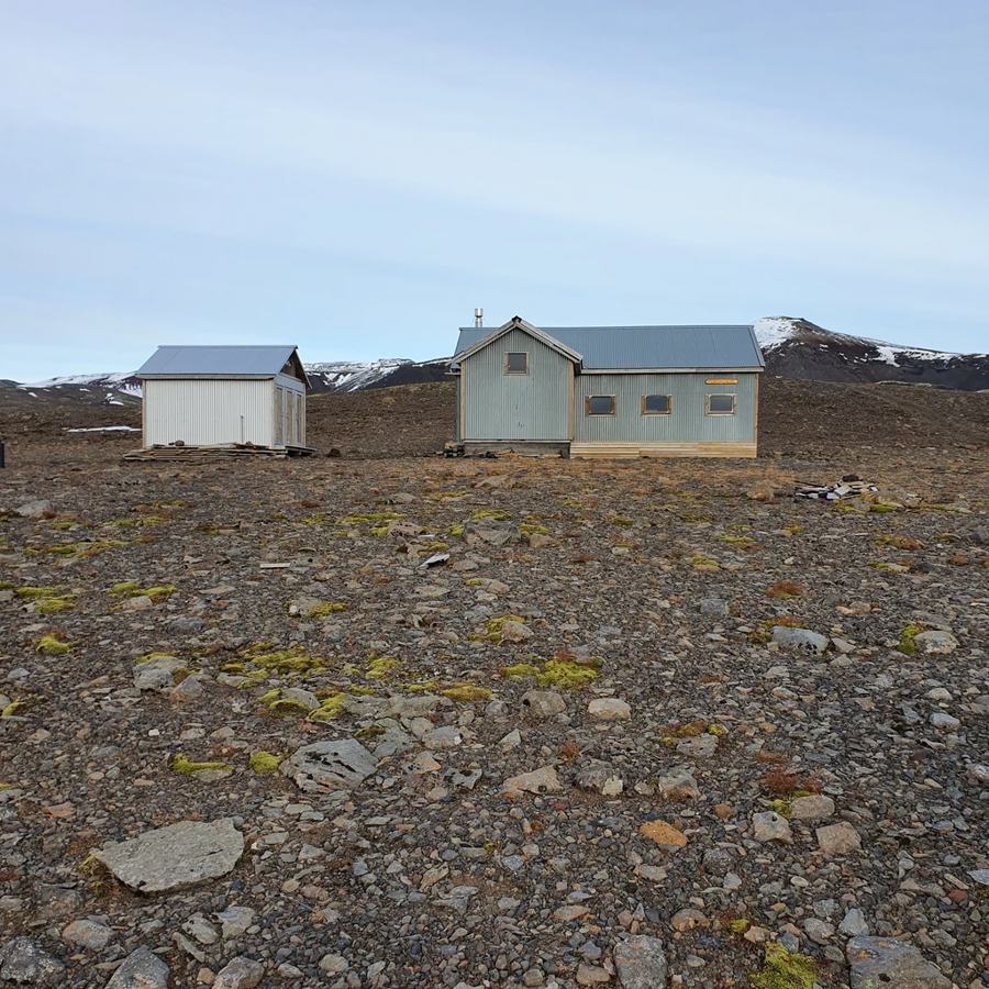
Tindfjallasel is one of three huts in the Tindfjöll area and is suited as a base for summer hiking and winter ski touring. The hut accommodates 26 peopl...
- Region
- South Iceland
- Road
- Four Wheel Drive
- Season
- Seasonal
Hut
Tjaldafell is a mountain hut or lodge in Grímsnes- og Grafningshreppur, South Iceland. road access is classified as four wheel drive.
- Region
- South Iceland
- Road
- Four Wheel Drive
- Season
- Unknown
Hut
Tröllaríki is a mountain hut or lodge in Grímsnes- og Grafningshreppur, South Iceland. road access is classified as four wheel drive.
- Region
- South Iceland
- Road
- Four Wheel Drive
- Season
- Unknown
Hut
Bratti is a mountain hut or lodge in Bláskógabyggð, South Iceland. road access is classified as foot only. it lies in or near protected area data: Þingv...
- Region
- South Iceland
- Road
- Foot Only
- Season
- Unknown

