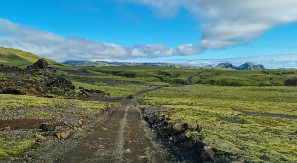
What this route is
Kerlingardalsvegur: the stored OSM-derived track measures 16.09 km in the current DULIN geometry. This is the mapped track length, not confirmation of a complete visitor itinerary or current trail access. Check the mapped start and finish, return transport and local conditions before departure.
Evidence and current conditions
Track measurements and duration estimates are planning data, not a field inspection or a promise of completion time. Confirm the exact variant and start/end points before relying on them.
Use SafeTravel alerts, official road conditions and weather warnings. These sources describe current conditions, not verification of this particular track.
- Region
- South Iceland
- Route type
- Hiking
- Distance
- 16.1 km
- Estimated time
- 4 h 15 min
- Elevation gain
- 240 m
- General difficulty
- Hard
- Technical difficulty
- River Crossing
- Recommended season
- Summer
- Winter risk
- Very High
- River-crossing signal
- Required
How demanding is this hike?
From the recorded distance and time, treat this as a substantial day objective. The estimate is a comparison aid, not a finish-time promise: stops, navigation, surface, wind and the slowest person in the group all matter.
The data works out to about 15 m of ascent per kilometre. That shows how concentrated the climbing is, but it does not capture exposure, footing or scrambling.
Technical difficulty is recorded as river crossing; compare that with your experience rather than judging the route from distance alone.
Winter risk is recorded as very high. Snow, ice and reduced daylight can turn this into a different route from the summer version.
River-crossing context is recorded as required. Verify the exact crossing and current water conditions; never assume that a mapped line means a safe crossing exists.
What can change the decision
Route passes very close to a mapped OSM ford. Verify actual crossing and current river conditions. Winter or shoulder-season travel may be unsafe without current local information.
Plan the approach and return as carefully as the trail itself. Keep a shorter alternative in the same region, define a turn-around time and do not let a downloaded line override conditions on the ground.