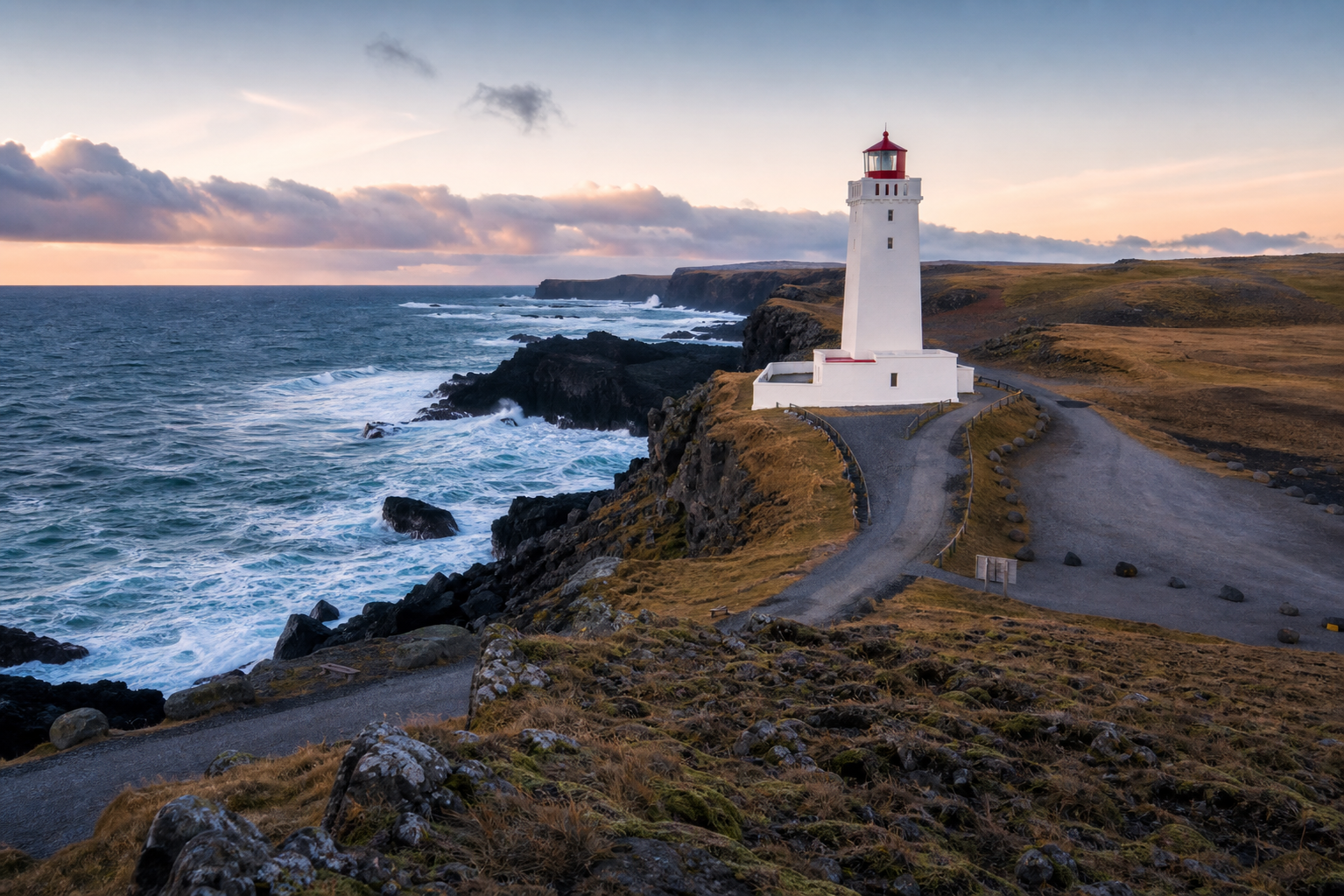
First decide whether you want to enter a tower or simply visit the coast. Many lighthouse markers provide only the second experience.
Akranes: building access is a separate decision
The regional visitor listing for Akranes publishes seasonal opening hours. Check the current listing before travelling for tower entry; an exterior photograph does not establish that the building will be open.
Compare coastal stops by the final approach
Record the public parking, final walk, exposure, services and whether a visitor-access source exists. Choose a town-based alternative when a remote headland requires more road or weather commitment than the day allows. Coastal proximity alone is not proof of an easy connection.
Lighthouse routes worth comparing
Assume the building is closed unless access is published
Many Icelandic lighthouses are operational infrastructure rather than visitor attractions. A map marker normally supports an exterior coastal stop; it does not mean the tower is open, that surrounding land is public or that entering associated buildings is allowed.
Coastal lighthouse checklist
- Check the final road surface and whether winter access is realistic.
- Use established parking and stay away from operational access.
- Keep well back from cliffs, surf and slippery harbor structures.
- Respect nesting birds, seals and seasonal protected-area rules.
- Verify drone rules separately; a remote-looking lighthouse can still be protected or near an airfield.
Quick answers
Can visitors enter Icelandic lighthouses?
Usually do not assume so. A few sites may publish tours, accommodation or museum access, but most lighthouse records should be planned as exterior stops unless the operator says otherwise.
Are remote lighthouse roads suitable in winter?
Some are not. Snow, wind, gravel, limited maintenance and poor visibility can make a short map distance unsuitable. Check the exact road rather than relying on the main-road condition nearby.
Check road conditions, weather warnings and the rules for any protected coastal area.
Related map records
These are records to investigate, not recommendations or confirmation of current access. Read each record's evidence notes.
- Akranesviti - Lighthouse, West Iceland
- Dalatangaviti - Lighthouse, East Iceland
- Dalatangaviti eldri - Lighthouse, East Iceland
- Gamli Akranesviti - Lighthouse, West Iceland
- Hvalnesviti - Lighthouse, East Iceland
- Malarrífsviti - Lighthouse, West Iceland
Open the map when you need to compare nearby places, hikes, road access, weather context and saved trip items.