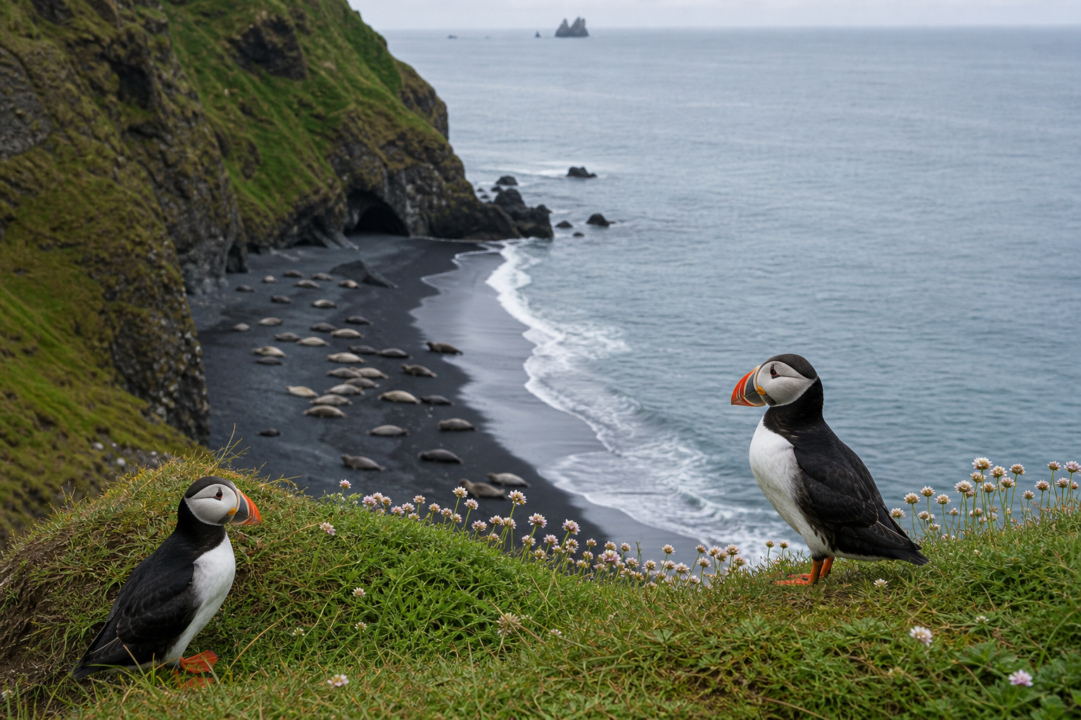
Wildlife stops can be a highlight of an Iceland trip, but they work best when they are planned with patience and distance. A wildlife marker should never be treated like a guaranteed animal sighting. It is a planning lead that needs season, weather, access, daylight and local rules around it.
DULIN helps connect wildlife places with the rest of the route. Use the map to compare coastal cliffs, beaches, viewpoints, parking, walking access and nearby alternatives before committing time to a stop. Keep distance from animals, stay on marked paths, avoid loud behavior, do not feed wildlife and be extra careful around nesting birds, seal haul-out beaches and protected areas.
Use the map to ask better questions
DULIN is most useful when you treat each record as part of a wider landscape. A place or route becomes more meaningful when you know the region, road access, season, nearby alternatives, weather context and whether the data is recently verified.
- Start from the region and travel day you are planning.
- Compare nearby places and routes instead of isolated pins.
- Check access, season and safety notes before committing.
- Verify current conditions with official Icelandic sources.
Wildlife records are planning leads, not promises
Use wildlife places to plan a patient stop with enough time, distance and backup options. If animals are not visible, too close to people, nesting, resting or stressed, the better travel decision is to leave them undisturbed and continue the route.
Open the map when you need to compare nearby places, hikes, road access, weather context and saved trip items.