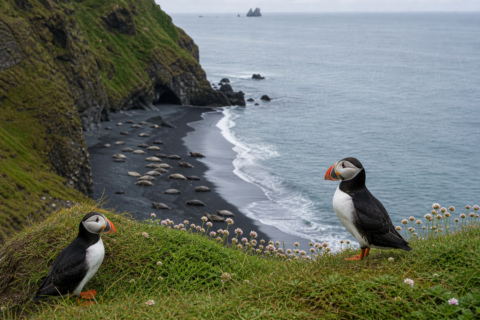
Choose an established viewing site rather than the closest nesting marker. Paths, platforms and a safe approach matter more than how close the birds appear in someone else's photograph.
Hafnarholmi: compare infrastructure with travel commitment
Visit Austurland identifies Hafnarholmi at Borgarfjordur Eystri harbour as a puffin-viewing location. The decision is whether the East Iceland detour fits your route and season, not whether a sighting can be promised.
Have a reason to enjoy the coast without a sighting
Pair the visit with a village, established coastal viewpoint or another non-wildlife stop. That removes pressure to approach nests when birds are distant or absent. Keep to marked paths and do not fly drones around nesting colonies.
Puffin regions to compare
Puffin timing by season
Puffins are a spring and summer planning topic, with the nesting period providing the main viewing window. Arrival, breeding success and departure vary, so avoid promising a precise sighting from the calendar alone. By late summer, a location that was active earlier can become much less reliable.
Time of day also affects whether birds are at sea or near burrows. Local guidance, weather and patience are more useful than a universal “best hour.” Plan enough time to watch quietly from an established viewpoint, but keep a nearby coastal or lighthouse stop as a backup.
Quick answers
Can Dyrhólaey close during puffin season?
Yes. The responsible authority can restrict access between 1 May and 25 June when bird protection requires it. Check current notices and obey gates, ropes and ranger instructions.
How close should I get to puffins?
Remain on marked paths and platforms and let the birds choose the distance. Do not stand between a bird and its burrow or the sea, and never step onto soft cliff-top vegetation for a photograph.
Check current Dyrhólaey access guidance and the rules for the exact protected area. The agency's Akurey guidance explains its landing and drone restrictions.
Related map records
These are records to investigate, not recommendations or confirmation of current access. Read each record's evidence notes.
- Vestmannaeyjar - Puffin, South Iceland
Open the map when you need to compare nearby places, hikes, road access, weather context and saved trip items.