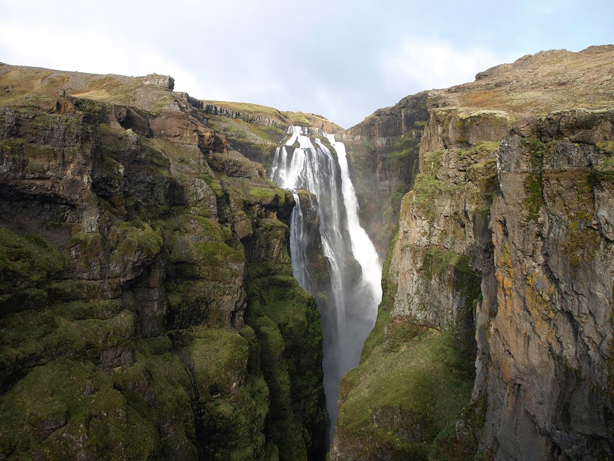
Plan West Iceland by nearby context
West Iceland works well for compact road-trip days with waterfalls, coastal stops, hiking routes and alternatives close together.
West Iceland is easier to plan when places and routes are viewed together. A hut, waterfall, hot pot or route can be useful only if the surrounding roads, season and weather fit the day.
Use DULIN to compare nearby options, then open the map for filters, route context, navigation links and Premium planning tools.
Compare Borgarfjordur with the peninsula
A Hraunfossar and Barnafoss visit can anchor a Borgarfjordur day; a Snaefellsnes journey needs its own road plan. Do not turn their shared regional label into a single rushed checklist.
Detailed planning comparison | Other regions
Regional groups follow the source records and can overlap travel areas. Counts describe available public records, not complete visitor coverage. Check road conditions and current travel notices before departure.
What the DULIN data currently covers in West Iceland
The public regional index currently contains 179 places and 0 hikes. The strongest place groups are Waterfall (128), Sport (17), Campsite (12), Lighthouse (8), Culture (6). Counts describe database coverage, not quality rankings or guaranteed access.
Place starting points: Barnafoss, Bjarnarfoss, Englandsfoss, Giljafoss.
Use these names to build a compact shortlist, then remove any option whose current road, weather, season or safety context does not fit the day.
 Waterfall
Barnafoss is a waterfall in Borgarbyggð, West Iceland. road access is classified as likely foot access. it lies in or near protected area data: Hraunfos...
- Region
- West Iceland
- Road
- Likely Foot Access
- Season
- Year Round
 Waterfall
Bjarnarfoss is a waterfall in Snæfellsbær, West Iceland. road access is classified as foot only.
- Region
- West Iceland
- Road
- Foot Only
- Season
- Year Round
 Waterfall
Englandsfoss is a waterfall in Borgarbyggð, West Iceland. road access is classified as likely foot access.
- Region
- West Iceland
- Road
- Likely Foot Access
- Season
- Year Round
 Waterfall
Giljafoss is a waterfall in Borgarbyggð, West Iceland. road access is classified as likely foot access.
- Region
- West Iceland
- Road
- Likely Foot Access
- Season
- Year Round
 Waterfall
Glanni is a waterfall in Borgarbyggð, West Iceland. road access is classified as likely foot access.
- Region
- West Iceland
- Road
- Likely Foot Access
- Season
- Year Round
Waterfall
Glymur is a waterfall in Hvalfjarðarsveit, West Iceland. road access is classified as foot only.
- Region
- West Iceland
- Road
- Foot Only
- Season
- Year Round
 Waterfall
Grundarfoss is a waterfall in Grundarfjarðarbær, West Iceland. road access is classified as foot only.
- Region
- West Iceland
- Road
- Foot Only
- Season
- Year Round
 Waterfall
Hraunfossar is a waterfall in Borgarbyggð, West Iceland. road access is classified as likely foot access. it lies in or near protected area data: Hraunf...
- Region
- West Iceland
- Road
- Likely Foot Access
- Season
- Year Round
Waterfall
Kerin is a waterfall in Borgarbyggð, West Iceland. road access is classified as likely foot access.
- Region
- West Iceland
- Road
- Likely Foot Access
- Season
- Year Round
 Waterfall
Kerlingarfoss is a waterfall in Snæfellsbær, West Iceland. road access is classified as foot only.
- Region
- West Iceland
- Road
- Foot Only
- Season
- Year Round
 Waterfall
Kirkjufellsfoss is a waterfall in Grundarfjarðarbær, West Iceland. road access is classified as likely foot access.
- Region
- West Iceland
- Road
- Likely Foot Access
- Season
- Year Round
 Waterfall
Klukkufoss is a waterfall in Snæfellsbær, West Iceland. road access is classified as foot only. it lies in or near protected area data: Snæfellsjökull.
- Region
- West Iceland
- Road
- Foot Only
- Season
- Year Round